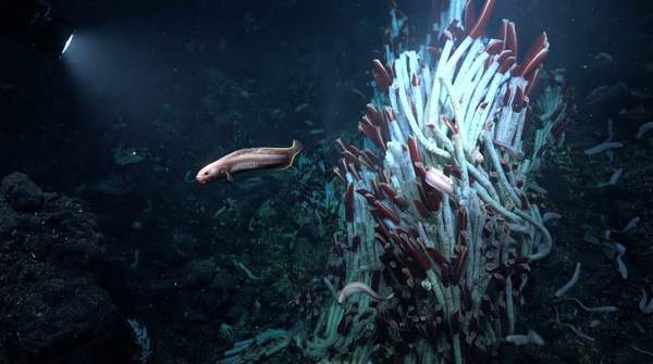
Deep-sea hydrothermal vent research relies on two fundamentally different imaging technologies, and choosing between them is really a question of scale. Multibeam sonar, an acoustic method, sweeps sound across broad stretches of seafloor to produce bathymetric maps and backscatter data—the right tool for finding vents in the first place. High-resolution optical imaging captures photographs detailed enough to identify individual organisms—the right tool for characterizing the biological communities once a vent is known. Rather than competing, the two operate in sequence, and understanding that sequence is the key to planning vent research.
Multibeam Sonar: Mapping the Deep-Sea Landscape
Multibeam sonar works by emitting sound pulses and measuring their return. The core product is twofold: bathymetry, the depth measurements that build a seafloor map, and backscatter, the intensity of sound reflected back toward the instrument. NOAA Ocean Exploration, whose expeditions use these systems on autonomous underwater vehicles, explains that backscatter analysis helps scientists find and characterize hydrothermal discharge, because vent fluids inject temperature changes and suspended particles into the water that scatter and distort sound waves in recognizable ways.
The technology's strength is coverage. A multibeam survey does a broad sweep of an area, making it, in NOAA's description, an efficient way to systematically map large regions. That efficiency comes at a cost in detail: the deeper the water, the lower the resolution of the resulting map. Physics limits what a hull-mounted sonar can achieve, a constraint long recognized in deep-sea mapping circles. A document from the GEBCO project on the history of seafloor mapping gives a concrete illustration: a surface-ship multibeam with a one-degree beam width in 2,000 meters of water achieves spatial resolution on the order of 35 meters, while the same class of instrument on a vehicle hovering 50 meters off the bottom can reach resolution under 1 meter.
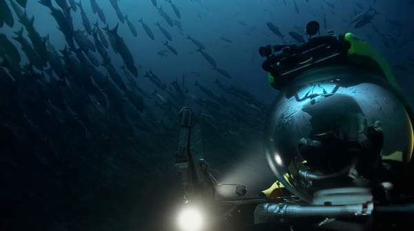
That gap explains the appeal of AUVs. NOAA's acoustic mapping project planned to install multibeam echosounders on an autonomous vehicle specifically to collect seafloor and water-column backscatter alongside high-resolution bathymetry. But MIT Lincoln Laboratory, which is developing improved sonar arrays, notes the trade-off directly: an AUV-mounted sonar can attain good resolution of a deep, limited area, but the vehicle is expensive, time-consuming to deploy, and slow moving. Ship-based sonar trades resolution for speed and reach.